What is Geospatial Data Engineering? A Beginner’s Guide!
The significance of location data in decision-making processes cannot be overstated. Geospatial data engineering emerges as a crucial discipline, blending the prowess of geographic science with data engineering to unlock the potential of spatial data. This beginner’s guide will give you the essence of geospatial data engineering, its key components and applications.
Understanding Geospatial Data
Geospatial data, or spatial data, refers to information that has a geographic aspect to it. This means that the data is related to a location on the Earth’s surface, including coordinates (latitude and longitude), addresses, and even more complex data like polygons representing areas (Goodchild, 2010). Sources of geospatial data range from satellite imagery and aerial photography to GPS tracking and sensor networks.
The Role of a Geospatial Data Engineer
Geospatial data engineers are tasked with designing, building, and managing systems that collect, process, and analyze geospatial data. They harness a variety of technologies, including Geographic Information Systems (GIS), databases like PostGIS, and programming languages such as Python and R, to develop solutions that can handle and interpret vast amounts of spatial data efficiently.
Key Responsibilities of a GIS Data Engineer
- Data Collection and Storage: Implementing robust systems to gather and store geospatial data from various sources.
- Data Processing and Analysis: Developing algorithms and models to clean, process, and analyze spatial data to extract meaningful insights.
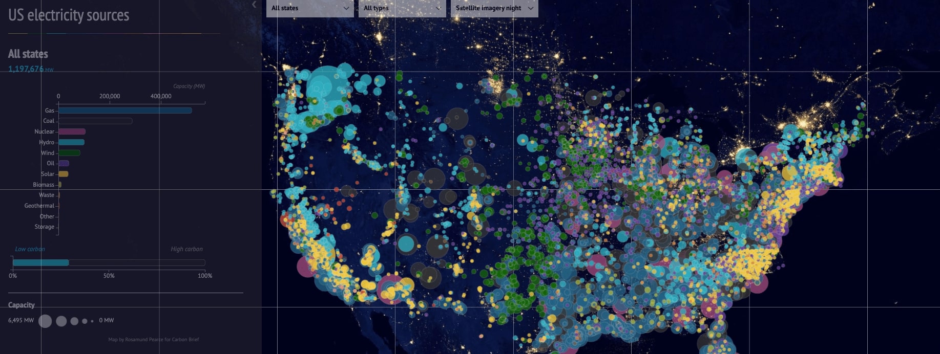
- Visualization and Mapping: Creating dynamic maps and visualizations to represent geospatial data in an intuitive and informative way.
Applications of Geospatial Data Engineering
The applications of geospatial data engineering are vast and varied touching upon numerous sectors:
- Urban Planning and Smart Cities: Enhancing city planning through the analysis of population density, land use, and infrastructure data.

- Environmental Conservation: Monitoring deforestation, wildlife habitats, and climate change impacts using satellite imagery.
- Transportation and Logistics: Optimizing routes for delivery services and fleet management through real-time location tracking.
- Agriculture: Utilizing satellite data for precision farming, crop monitoring, and soil health assessment.
Tools and Technologies in Used by GIS Data Engineers
Geospatial data engineering relies on a suite of tools and technologies:
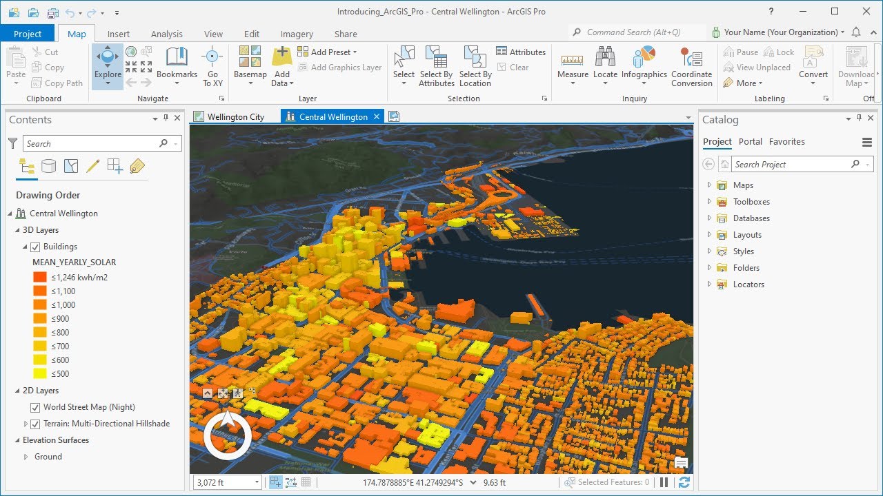
- GIS Software: Tools like QGIS and ArcGIS for mapping and spatial analysis.

- Programming Languages: Python and R, with libraries such as Geopandas, Rasterio, and sf for data manipulation.
- Databases: Spatial databases like PostGIS for storing and querying geospatial data.
- Cloud Computing: Platforms like AWS and Google Cloud offer scalable resources for processing and analyzing large datasets.
GIS Data Engineering Future
Despite its potential, geospatial data engineering faces challenges such as data privacy concerns, the integration of diverse data sources, and the need for real-time processing capabilities. Moving forward, advancements in machine learning, AI, and cloud technologies are expected to further enhance the capabilities of geospatial data engineering, making spatial insights more accessible and impactful than ever before.
Geospatial data engineering stands at the intersection of geography and technology, offering powerful tools to understand and influence the spatial dimensions of our world. As industries increasingly rely on location-based insights, the demand for skilled geospatial data engineers is set to rise for many reasons:
Rising data volumes and reliance on location intelligence
The amount of geospatial data is exploding, driven by sensors, GPS, mobile devices, and more. Businesses across sectors increasingly rely on this data for insights, driving demand for professionals who can manage and analyze it.
Technological advancements
New technologies like cloud computing, big data analytics, and AI are opening up new possibilities for geospatial analysis. Companies need GIS data engineers to bridge the gap between these technologies and real-world applications.
Skill gap and competition
Despite the demand, finding qualified GIS data engineers can be challenging. The combination of GIS expertise, data engineering skills, and coding abilities is relatively rare, creating a competitive job market for skilled professionals.
References
Goodchild, M. F. (2010). “Towards a definition of GIS.” The International Journal of Geographical Information Systems, 4(3), 313-331.